
Features
Drainage Management Systems
Check it out: Identifying potential suitability for subirrigation in the Midwest
March 28, 2022 By Drainage Contractor
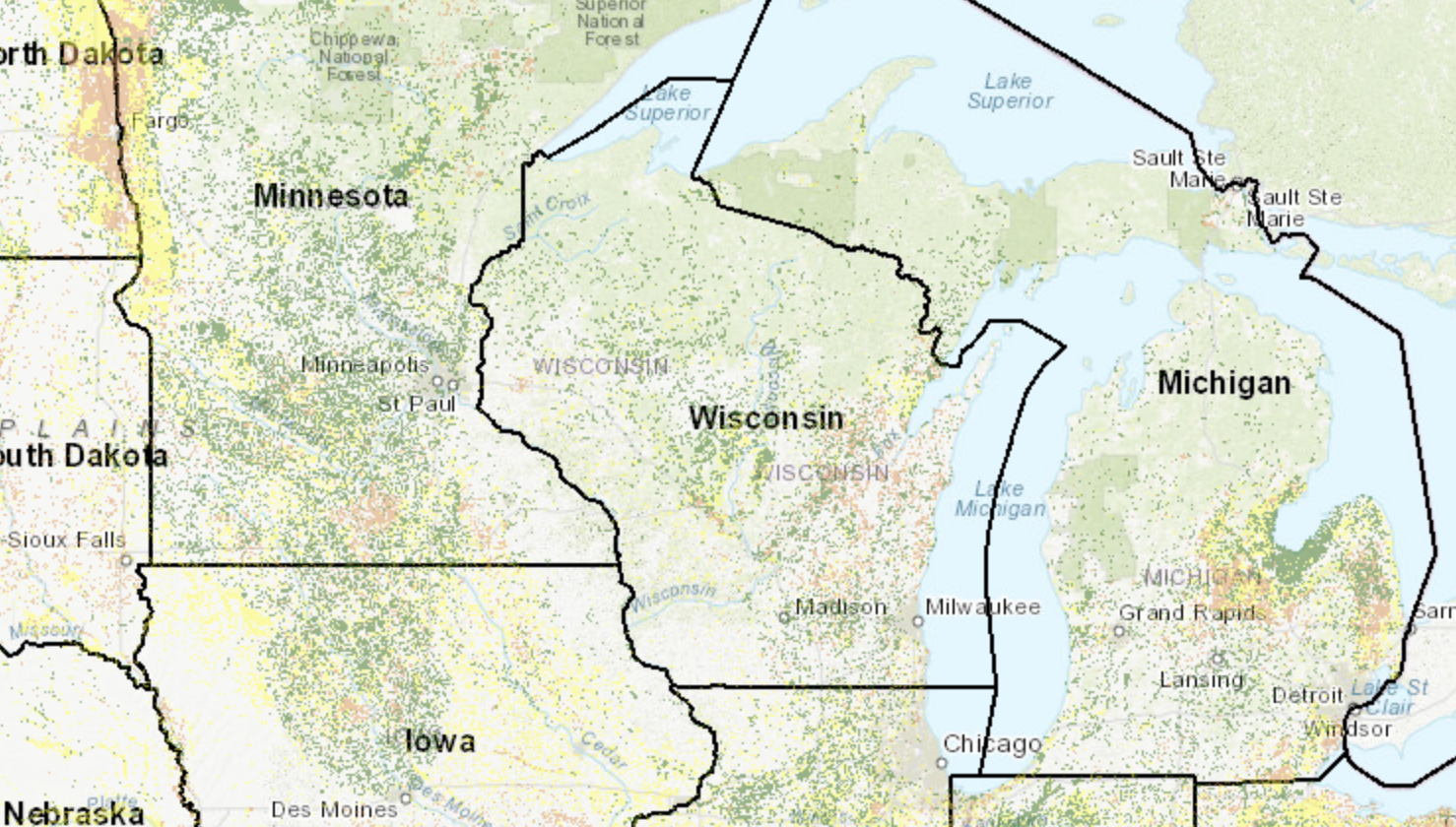
A tool by the Transforming Drainage group uses layers of map data to identify suitable locations for subirrigation in the Midwest United States.
The tool identifies agricultural land that has a restricting layer that causes the water table to rise, permeable soil above the restricting layer that allows water to move horizontally between tile drains, flat topography that allows economical systems and is likely to be tile-drained. A field assessment of any site is needed when evaluating a potential project.
The video below demonstrates how to use the tool:
Advertisement
Print this page
Advertisement
Stories continue below
Related
Tags