
Products
CHC Navigation introduces its positioning product i50 GNSS
March 20, 2019 By Drainage Contractor
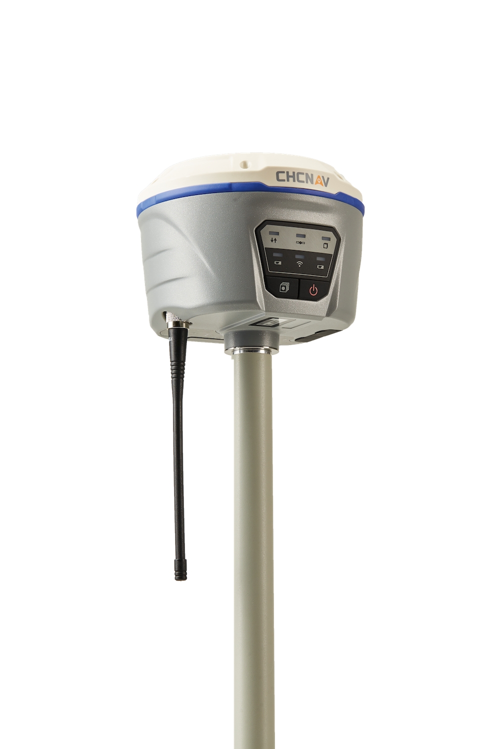
CHC Navigation announced the availability of its new i50 GNSS receiver, an all-in-one, cost-effective and easy-to-use GNSS RTK solution. GNSS RTK refers real-time kinematic, a satellite navigation technique that provides position data derived from satellite-based positioning systems (GNSS or global navigation satellite systems).
Bundled with CHC HCE320 Android controller and CHC LandStar 7 field data collection software, the i50 GNSS receiver provides a cost-effective solution for topographic and construction positioning tasks in land surveying, small and medium size construction projects and precision GIS data collection.
“The i50 GNSS is designed to match the demand of cost-conscious yet demanding professionals searching for one all-in-one GNSS RTK survey solution,” said Hans Huang, product manager of GNSS Solutions for CHC Navigation. “By integrating field proven GNSS positioning and communication technologies in a compact and rugged unit, land surveyors will experience unmatched work flexibility in their daily field work with CHC i50.”
Print this page