
Features
Drainage Management Systems
Environment
Conference preview: Mapping tile drainage
How maps could address runoff and contractor planning.
January 25, 2024 By James Careless
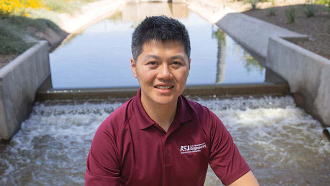 Ruijie Zeng, assistant professor at the School of Sustainable Engineering and the Built Environment at Arizona State University, says little data exists on the layouts of drainage systems.
 For years, fertilizer runoff from Midwestern farms has flowed into the Mississippi Watershed. When nutrients such as nitrogen and phosphorus reach the Gulf of Mexico they are consumed by algae, resulting in massive algae blooms. These blooms consume oxygen in the water, killing marine life and creating what’s known as dead zones.
Researchers are trying to find ways to reduce these pollution levels, which includes mapping their origin in farmers’ fields. But this task isn’t easy: although drainage ditches are visible from the air, the tile drainage systems are buried underground. This makes it difficult to map these systems or calculate their impacts.
Finding better ways to map these systems is the mission of Ruijie Zeng, assistant professor in the School of Sustainable Engineering and the Built Environment at Arizona State University. Using the proceeds from a 2023 National Science Foundation Faculty Early Career Development Program (CAREER) Award, Zeng and fellow researcher Chuncheng Yao (a civil, environmental and sustainable engineering doctoral student) are using drone footage, computer vision algorithms and soil moisture simulation models to improve the mapping of agricultural drainage networks and natural rivers. Unfortunately, little data exists on the layouts and positions of systems.
“Chasing the Storm”
It is practically and economically impossible to map the total tile drainage system flowing into the Mississippi Watershed. But it is possible to map large parts of it, and then use that data to create a reasonably accurate model of this system. Such a model can be very useful for identifying pollution pathways related to tile drainage systems and devising ways to mitigate their runoff’s impact on the Gulf of Mexico.
To make this happen, Zeng and Yao are using drones to map farm drainage networks through multi-spectral imagery. By using drone-based cameras that operate where human eyes cannot see, the team can detect a field’s soil moisture patterns to determine where and how water drainage is occurring. In this way, they can accurately deduce the location of underground drainage systems without doing any digging.
This approach works because soil closer to a tile drain dries out faster than soil that is far from it. “So from this surface pattern, we can infer what is buried under the ground and detect the drains,” says Zeng.
Finding these pathways can be tricky since these patterns usually happen after heavy rainfalls. If a drone is sent up too soon after a downpour, the field will be saturated with water for patterns to occur. Too long afterwards, and the field will have dried out. Timing is everything, which is why Zeng and Yao refer to their research approach as “chasing the storm”.
That’s not all: The team is also mapping drainage ditches and other above-ground features using drone-based LIDAR (Light Detection and Ranging) sensors. “LIDAR provides us with half a meter resolution, allowing us to tell where the land surface is lower than others,” says Zeng. “So we can identify the ditches and map them.”
With this data, Zeng and Yao can process it to simulate runoff patterns, allowing them to map the entire drainage system within the areas surveyed. They have already conducted drone-based research in Illinois, and are heading next to Indiana and Iowa to gather more data.
Promising results
It will take a while for Zeng and his colleague to compile sufficient scientific data to flesh out a comprehensive field drainage mapping model. Still, their initial results are promising, because their drone-based research approach is working as well as they had hoped.
“With just one flight, we were able to detect the subsurface drainage pattern in the area we overflew,” says Zeng. “We’re still exploring how to scale this up, but I think the main goal of our research is to develop these methods and provide some tools for others to increase
their successful management of their own drainage systems.” He imagines a future where each farmer can monitor their field drainage patterns using drones and the analytical software tools he is currently developing.
Big possibilities
Helping farmers monitor and manage their drainage systems is only the beginning. On a larger scale, one of the main applications of this mapping will be the integration of agriculture drainage infrastructure data into the hydrological models of the Mississippi Watershed.
“With this critical information, we can incorporate the drainage networks into the natural river networks and simulation models so we can see where the ‘hot spots’ are, and where the impact of runoff is most significant.”
Currently, Zeng and Yao are working on drone-based farm subsurface surveys. “This is the detection part, and I think we will have some results in 2024,” says Zeng. “The modelling part comes after the detection phase, and will be finished in the latter two years of the project.”
Once this work is done, “we’ll provide scientific support for the stakeholders, including farmers, the local conservation agencies, and regulation agencies like the [USDA] to assess the impact of drainage systems on water quality,” he says. “There are many conservation programs that promote more adaptive drainage systems where they can control the water table with some new devices. Now there are some studies looking at the impact of these systems at the local farm scale impact, but the regional and the watershed scales are still being missed.”
One thing is certain: The research being done by Zeng and Yao will assist the development of more accurate and complete drainage mapping systems. DC
Print this page